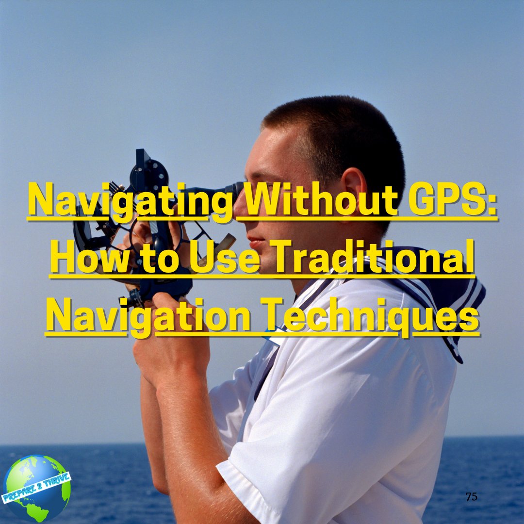
GPS (Global Positioning System) has revolutionized navigation for sailors, pilots, and hikers alike, providing accurate and real-time information about position, speed, and direction. However, despite its many advantages, GPS has limitations that can compromise its reliability, such as signal interference, battery life, and vulnerability to hacking. In addition, relying solely on GPS can make us less prepared to handle emergencies or unexpected situations. Traditional navigation techniques, on the other hand, have been used for centuries and can provide valuable alternatives to GPS. In this article, we will explore the basics of traditional navigation techniques, their advantages and challenges, and how to use them effectively.
Understanding Traditional Navigation Techniques
There are several traditional navigation techniques that have been used by sailors, explorers, and navigators for centuries, each with its own strengths and limitations.
A. Celestial navigation: using the sun, stars, and moon to determine position
Celestial navigation is perhaps the oldest and most mystical form of navigation. By observing the position of celestial bodies, such as the sun, stars, and moon, and comparing them to reference charts or tables, navigators can determine their latitude and longitude. While celestial navigation requires some knowledge of astronomy and mathematical calculations, it can be very accurate and reliable, especially in clear skies and open waters.
B. Dead reckoning: estimating position based on speed, direction, and time
Dead reckoning is a method of navigation that involves calculating one's position based on a previous known position, using speed, direction, and time. Dead reckoning can be a useful tool in conjunction with other navigation methods, but it is prone to errors due to factors such as currents, winds, and human error.
C. Pilotage: using landmarks and visual cues to navigate
Pilotage involves using visual cues, such as landmarks, buoys, and beacons, to navigate in coastal or inland waters. Pilotage requires good visibility, familiarity with the area, and careful observation, but it can be very effective in situations where other methods are not available or reliable.
D. Chart reading: interpreting nautical charts to plan and follow routes
Chart reading involves using nautical charts, which are detailed maps of coastal and oceanic waters, to plan and follow routes. Charts provide valuable information about water depth, hazards, currents, and other navigational aids. However, chart reading requires some knowledge of cartography, navigation rules, and chart symbols.
Preparing for Navigation Without GPS
To navigate effectively without GPS, it is essential to prepare carefully, gather the necessary tools and equipment, and practice the skills and procedures beforehand.
A. Gathering tools and equipment: charts, compasses, sextants, and other navigation aids
The basic tools and equipment needed for traditional navigation include nautical charts, compasses, sextants, clocks, and navigation tables. It is important to select high-quality, reliable equipment and to have backups in case of failure or loss.
B. Planning your route: choosing landmarks, compass headings, and estimated times
Before setting sail, it is crucial to plan your route carefully, taking into account factors such as currents, winds, tides, and weather conditions. You should also choose identifiable landmarks, set compass headings, and estimate times for each leg of the journey.
C. Establishing a system: organizing navigation aids and charting procedures
To navigate efficiently and avoid errors, it is essential to establish a clear and consistent system for using navigation aids and charting procedures. This can include labeling charts, keeping a logbook, and using checklists to ensure that all steps are followed correctly.
D. Practising navigation skills: honing skills and testing equipment before departure
Like any skill, navigation requires practice and experience to master. Before embarking on a voyage without GPS, it is crucial to practice navigation skills and test equipment under various conditions. This can include taking courses or workshops on traditional navigation techniques, practising using a compass or sextant, and simulating emergency scenarios.
Using Traditional Navigation Techniques at Sea
Once underway, there are several key techniques and procedures to use for effective traditional navigation.
A. Using a compass: determining course and heading with a compass
A compass is one of the most essential navigation tools and is used to determine course and heading. To use a compass, it is important to correct for variation (the difference between true north and magnetic north), deviation (the effect of the boat's magnetic field on the compass), and other factors that can affect accuracy.
B. Determining position: using celestial observations, dead reckoning, and pilotage to estimate position
To determine position, navigators can use a combination of celestial observations, dead reckoning, and pilotage. Celestial observations involve taking measurements of celestial bodies and comparing them to reference tables or charts. Dead reckoning involves calculating one's position based on a previous known position, using speed, direction, and time. Pilotage involves using visual cues, such as landmarks or buoys, to navigate.
 C. Navigating with charts: interpreting charts to plot and follow courses
Navigating with charts involves interpreting nautical charts to plot and follow courses. This can include calculating distances, determining depths, identifying hazards, and selecting appropriate courses.
D. Adjusting for currents and winds: calculating and compensating for external factors
To navigate effectively in changing conditions, it is important to adjust for currents and winds. This can involve calculating drift (the effect of currents on the boat's heading) and setting a course to compensate for it, or using techniques such as tacking or heaving-to to maintain progress in adverse conditions.
Coping with Emergencies and Unexpected Situations
Even with careful planning and preparation, emergencies and unexpected situations can arise while navigating without GPS. Here are some key strategies for coping with such situations:
A. Responding to equipment failure: improvising or repairing navigation aids
If equipment failure occurs, it is important to have backup systems or to be able to improvise with available materials. This can include using a makeshift compass, repairing a broken sextant, or using landmarks and visual cues to navigate.
B. Navigating in poor visibility: using sound signals and other cues to navigate
Poor visibility can make navigation challenging, but there are several strategies that can be used to navigate in such conditions. These include using sound signals, such as horns or whistles, to determine location, or relying on other sensory cues, such as the smell of the ocean or the feel of the boat's movement.
C. Using radio and communication devices: seeking assistance or reporting position
In the event of an emergency or distress situation, it is important to have access to communication devices, such as a VHF radio or satellite phone, to seek assistance or report position. It is also important to have backup communication systems, such as flares or signal flags.
D. Staying calm and focused: maintaining a clear head in challenging situations
Perhaps the most important strategy for coping with emergencies or unexpected situations is to stay calm and focused. This can involve practising mindfulness techniques, taking deep breaths, or relying on a well-trained crew to support one another.
Conclusion
While GPS has made navigation more accurate and efficient, traditional navigation techniques can provide valuable alternatives and can enhance navigational skills and preparedness. By understanding and practising techniques such as celestial navigation, dead reckoning, pilotage, and chart reading, sailors and other navigators can diversify their skills and be better prepared for emergencies and unexpected situations.
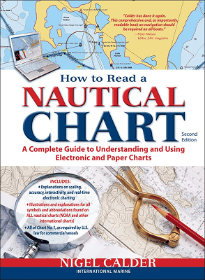
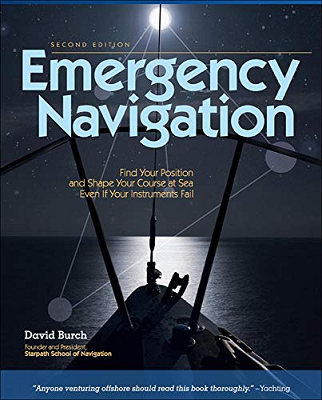
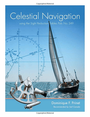
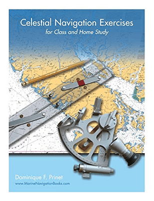
For more information, the following books are highly recommended:
| Click on the book cover to open Amazon link in a new window | |
 |
 |
 |
 |
There's also an excellent Celestial Navigation video series on Youtube. You can watch the series trailer here, and if interested, here's a link to the entire series.
Hashtags: #navigation #traditionaltechniques #celestialnavigation #deadreckoning #pilotage #chartreading #compass #sextant #equipmentfailure #poorvisibility #communicationdevices